
AsianOverland.net
Tour Guide - Itinerary
Asian Overland Sydney to London
Started 22/06/2022 Finished 21/06/2023365 Days ITINERARY
Day 25 date 16/07/2022FITZROY CROSSING to HALLS CREEK, THE KIMBERLEY
ASIANOVERLAND.NET SYDNEY TO LONDON DAY 25: FITZROY CROSSING TO HALLS CREEK, THE KIMBERLEY
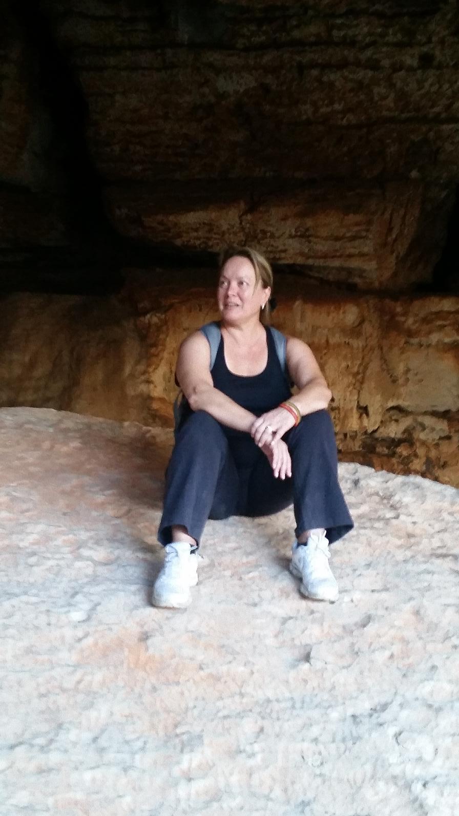
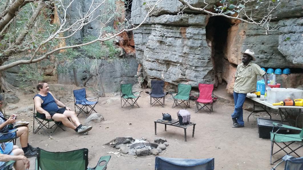
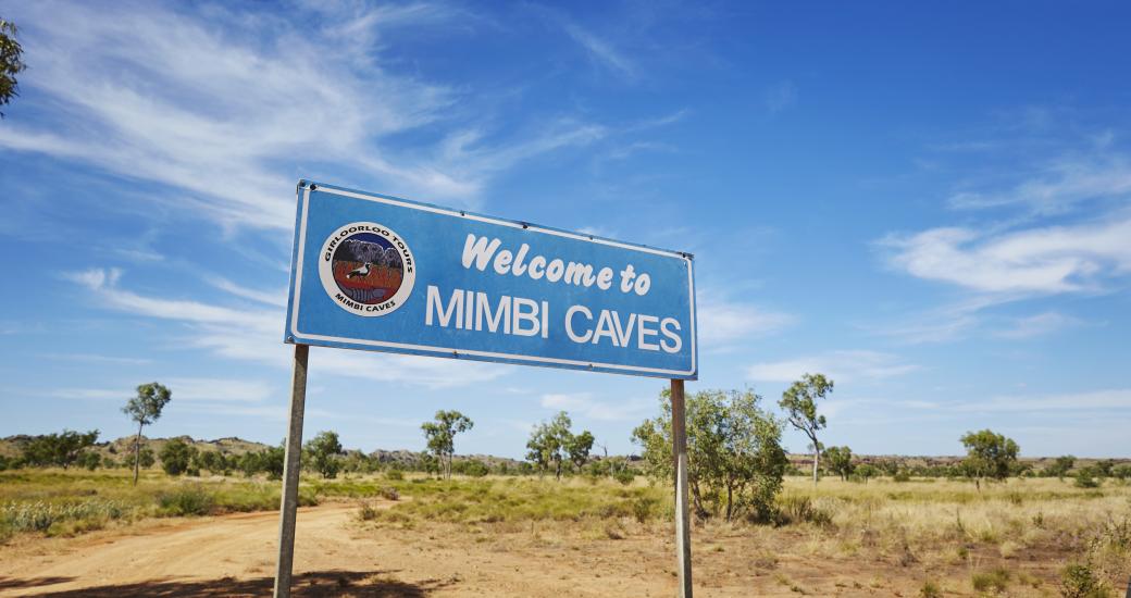
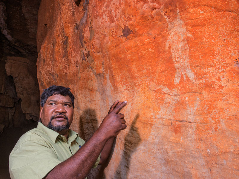
A 90-minute drive south-east of Fitzroy Crossing along the Great Northern Highway is Mimbi Caves, which contains aboriginal rock art at least 30,000 years old. Mimbi Caves also has one of the best three tour guides on the Asian Overland – Clarence, an indigenous Girloorloo owner who knows the area, including caves and snakes, like the back of his hand (The other two best tour guides are Habib Dubloo from Srinagar, Kashmir; and Mustafa from Ephesus, who has never been to school but learnt ancient history, archaeology and seven languages “in the University of Life”).
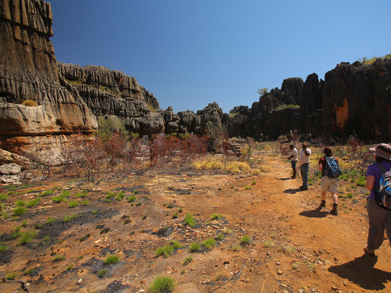
Clarence is one of the Girloorloo guides at Mimbi Caves, for tours including walking between towering karst cliffs, stopping to taste bush tucker and traditional medicines.

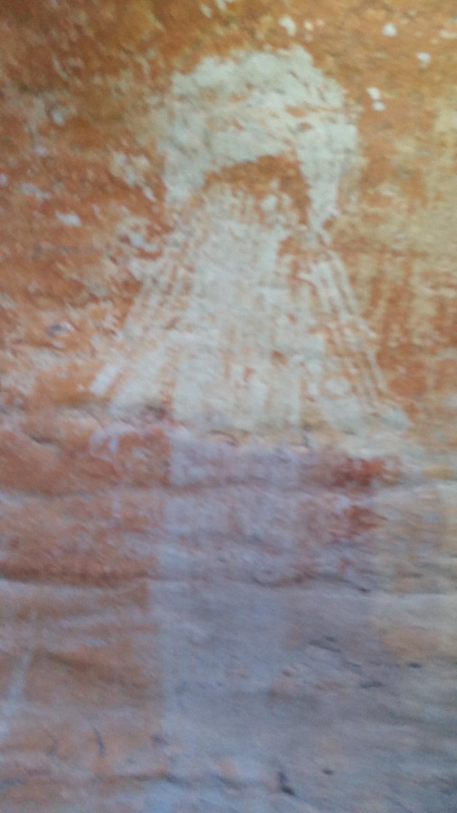
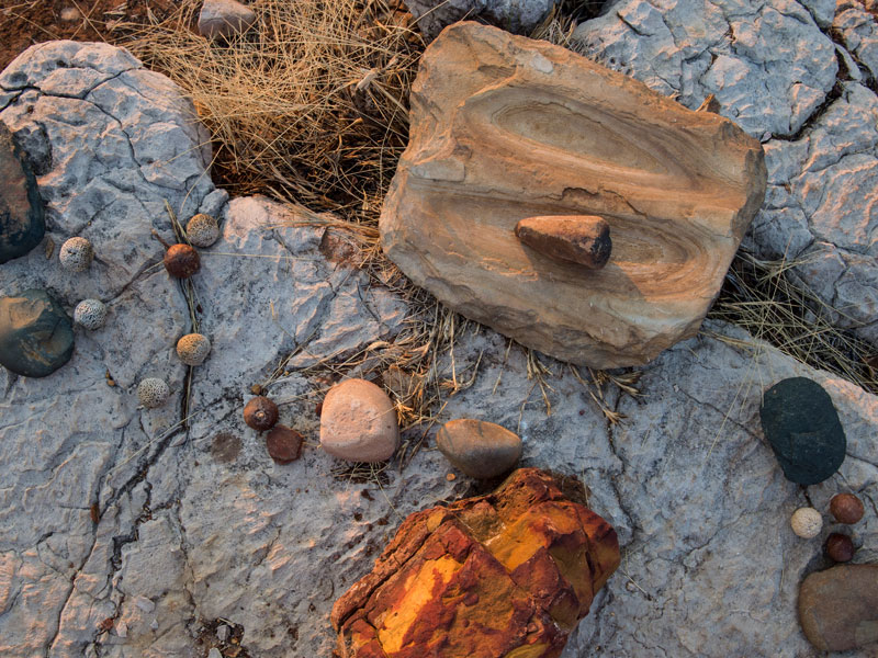
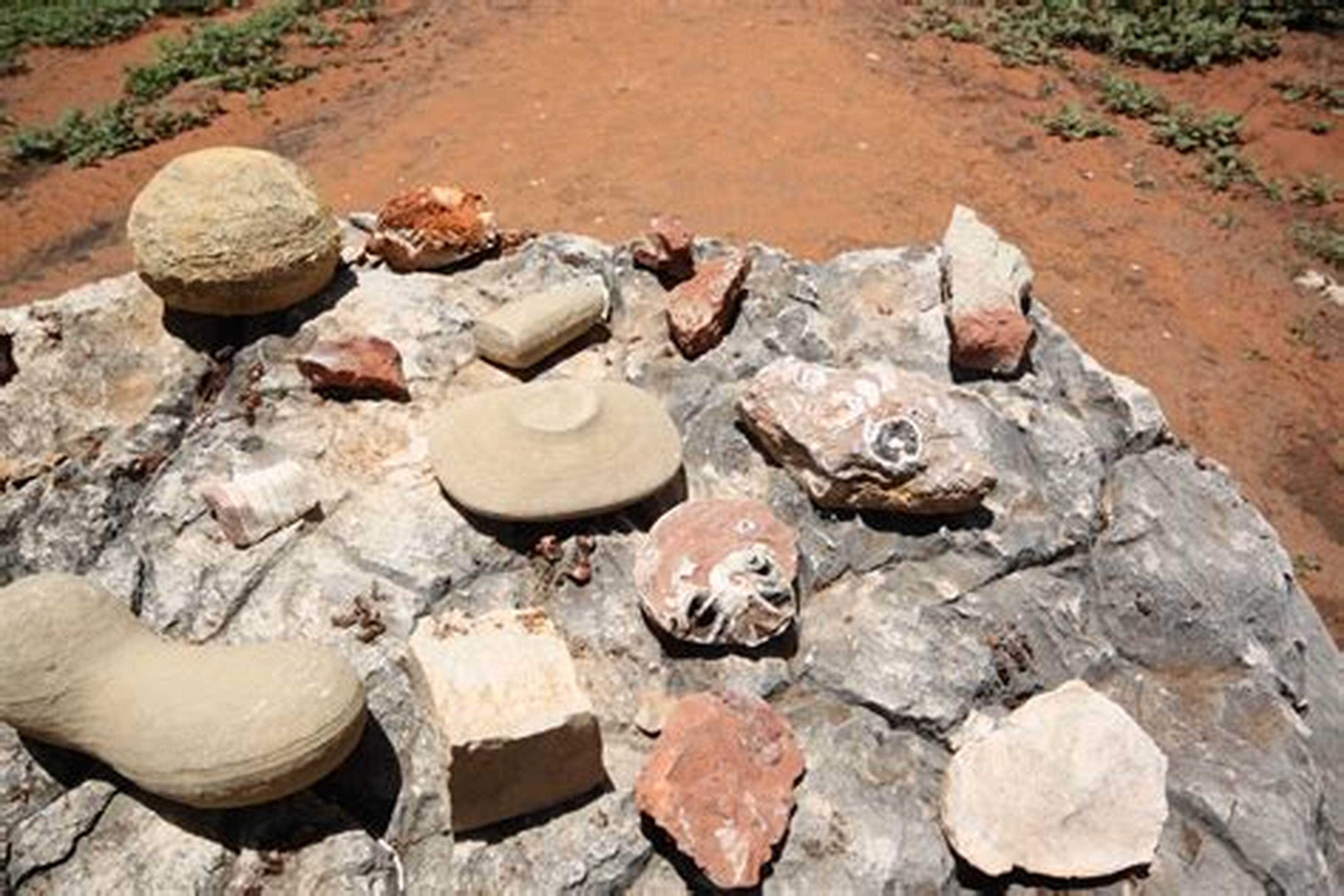
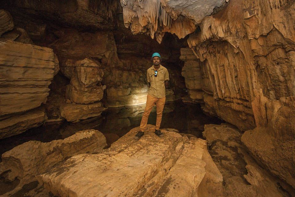
The ancient labyrinth of the Mimbi Caves holds many hidden secrets, including the Devonian Great Barrier Reef that was formed over 350 million years ago. Amongst the striking limestone formations, are some of the best preserved fish fossils in the world, and an extensive collection of Aboriginal rock art dating back 30,000 years.
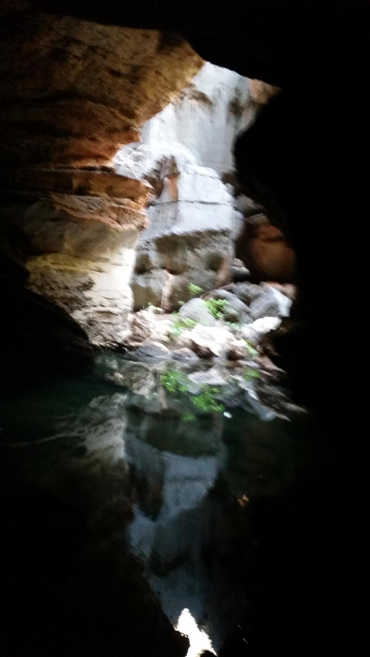
From the cave entrance, the Gooniyandi people guide you by torchlight, revealing the stalactites, stalagmites, snakes, flowstones and sparkling calcite crystals, rock art and Dreamtime stories of this extraordinary subterranean world.
As you move through the caves, ancient rock art and petroglyphs appear on the cave walls, direct evidence of the Gooniyandi people’s use of the caves over tens of thousands of years. Ancient Dreamtime stories of special significance to the Gooniyandi people include how the caves and freshwater pools were created.
Gooniyandi guides openly share their knowledge of the abundant native fauna and bush foods around the caves, give you the opportunity to sample local bushtucker, and hear about traditional bush medicines, some of which are still used by the Gooniyandi people today.
The birthing cave is a place used by Gooniyandi women for birthing over tens of thousands of years. The coolness of the cave and an overhang shading the clear water and inner chamber with a flat floor provide the perfect natural environment for childbirth. For cultural reasons, only women are permitted to visit the birthing cave.
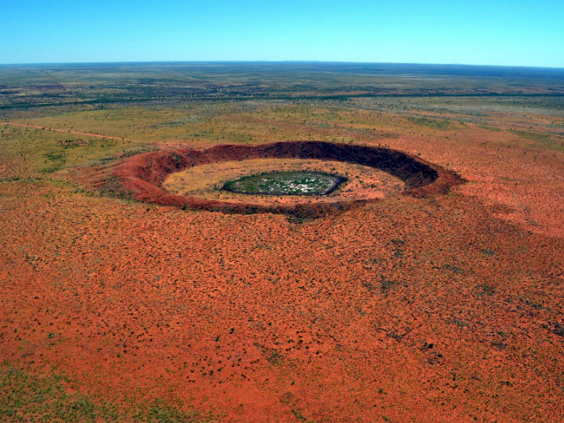
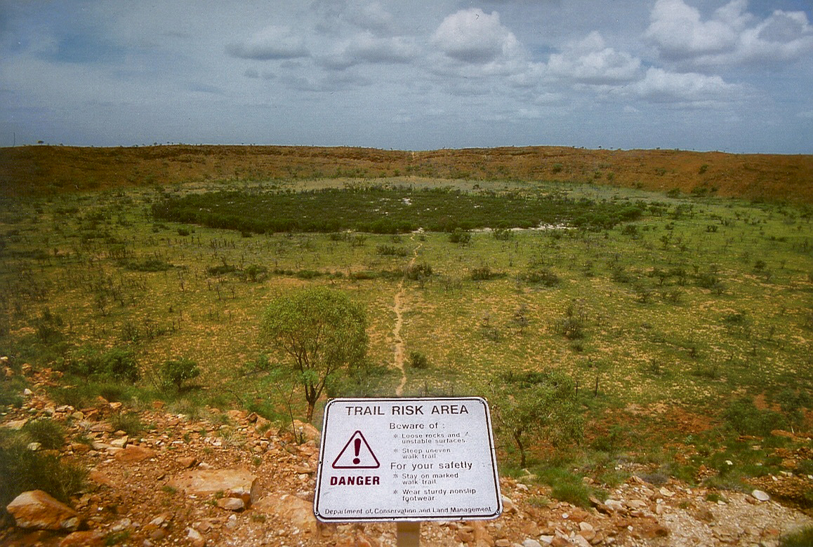
Wolfe Creek Crater is further east along the Great Northern Highway and is accessed via the Tanami Road 150 km south of Halls Creek. The crater is central to the Wolfe Creek Meteorite Crater National Park.
The crater averages about 875 metres in diameter and 60 metres from rim to present crater floor. The meteorite that formed the crater was about 15 metres in diameter and had a mass of about 17,000 tonnes. The crater is less than 120,000 years old. Small numbers of iron meteorites have been found in the crater, as well as larger so-called 'shale-balls', rounded objects made of iron oxide, some weighing as much as 250 kilograms.

The local Djaru (Jaru) Aboriginal people refer to the crater as Kandimalal. There are many Dreaming stories about the formation of the crater. One describes the crater's round shape being formed by the passage of a rainbow snake out of the earth, while another snake formed the nearby Sturt Creek.
Another dreamtime story, is that one day the crescent moon and the evening star passed very close to each other. The evening star became so hot that it fell to the ground, causing an enormous explosion and flash, followed by a dust cloud. This frightened the people and a long time passed before they ventured near the crater to see what had happened. When they finally went there, they realised that this was the site where the evening star had fallen to the Earth. The Djaru people named the place "Kandimalal" and it is prominent in art from the region.
The land now known as Halls Creek has been occupied for tens of thousands of years by Australian Aboriginal peoples. The land is crossed by ancient songlines and trading paths stretching from the coasts to the deserts. The story of that long occupation remains alive today in the culture of the Jaru, Kija, Kukatja, Walmajarri, Gooniyandi and other Indigenous people who live in Halls Creek Shire.
Halls Creek is between the towns of Fitzroy Crossing and Turkey Creek (Warmun) on the Great Northern Highway. It is the only sizeable town for 600 km on the Highway, so it's worth a stop.
Halls Creek is also the northern end of the Canning Stock Route, which runs 1,850 km through the Great Sandy Desert until the southern end of the route at Wiluna.
The Halls Creek town functions as a major hub for the local Indigenous population and as a support centre for cattle stations in the area.
© This work is copyright. Apart from any use permitted under the Copyright Act 1968, no part may be reproduced by any process, nor may any other exclusive right be exercised, without the permission of Peter Searle, peter@portseavillageresort.com; 1980-2024.
Website built by Justin O’Dea www.webdeveloperdocklands.com.au